Using artificial intelligence to automate sea-ice charting


Reliable charts of sea-ice conditions and forecasts are of vital importance for maritime safety, safe navigation and planning. The continued retreating and thinning of Arctic sea ice calls for a more effective way of producing detailed and timely ice information – which is where artificial intelligence comes in. This was reported in a feature by the European Space Agency (ESA) on 10 September.
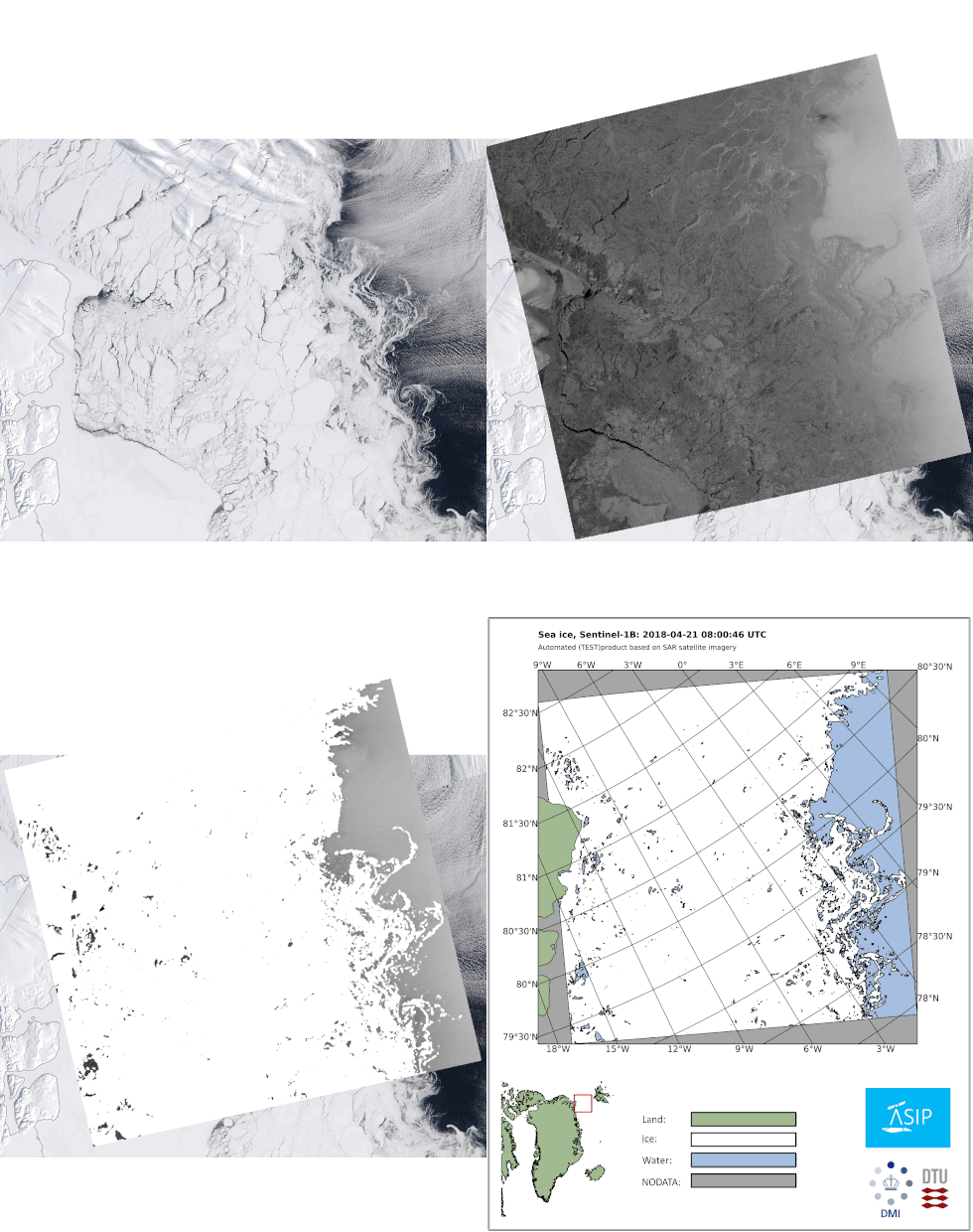
The Danish Meteorological Institute (DMI), the Technical University of Denmark and Harnvig Arctic & Maritime have initiated the project known as Automated Sea Ice Products (ASIP) – funded by the Innovation Fund Denmark. This project aims to develop an automatic sea-ice service that can provide more timely and detailed sea-ice information to improve efficiency and safety of marine operations in the Arctic.
ASIP merges Copernicus Sentinel-1 imagery with other satellite sensor data, such as passive microwave data from the Advanced Microwave Scanning Radiometer 2 (AMSR2) to resolve ambiguities that can occur in SAR imagery, such as during windy sea conditions. ASIP uses a convolutional neural network system that is trained with vast datasets of ice charts, to generate ice maps automatically.
