UK eLoran now in operation
to backup vulnerable GPS
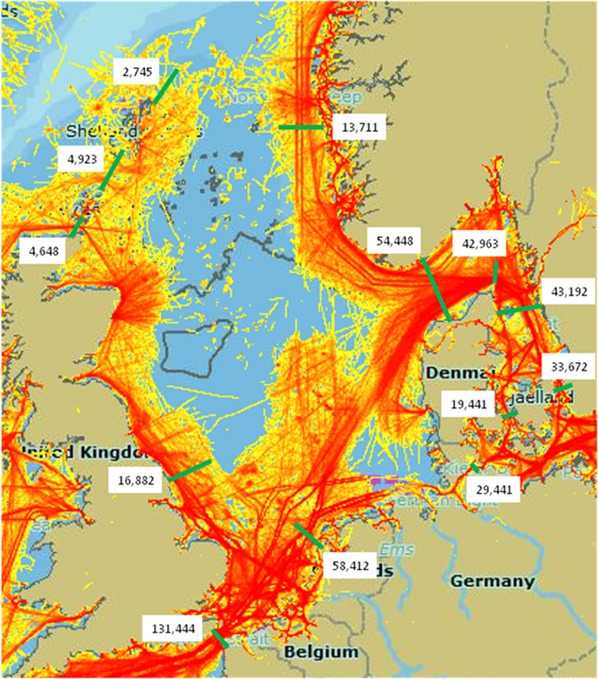
 Diagram illustrating shipping traffic in NW European waters. The busiest areas are coloured red. The digits indicate the number of movements recorded in 2012.
- Seven land-based monitoring stations to help ships navigate with signals one million times more powerful than GPS;
- eLoran technology will protect world’s busiest sea lanes from powerful illegal GPS jammers, space weather interference and other causes of GPS loss;
- Technology could backup critical national infrastructure, such as the Grid and City of London in the case of major GPS outage.
Technology to counter the threat of GPS jamming is now available at Dover and along the East coast of the UK, as the nation continues to set a benchmark across the globe.
The General Lighthouse Authorities (GLAs) of the UK and Ireland announced at the end of October the Initial Operational Capability of UK maritime eLoran.
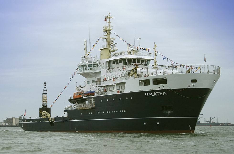
 The Trinity House vessel Galatea used on the eLoran trials and equipped for eLoran evaluation.
