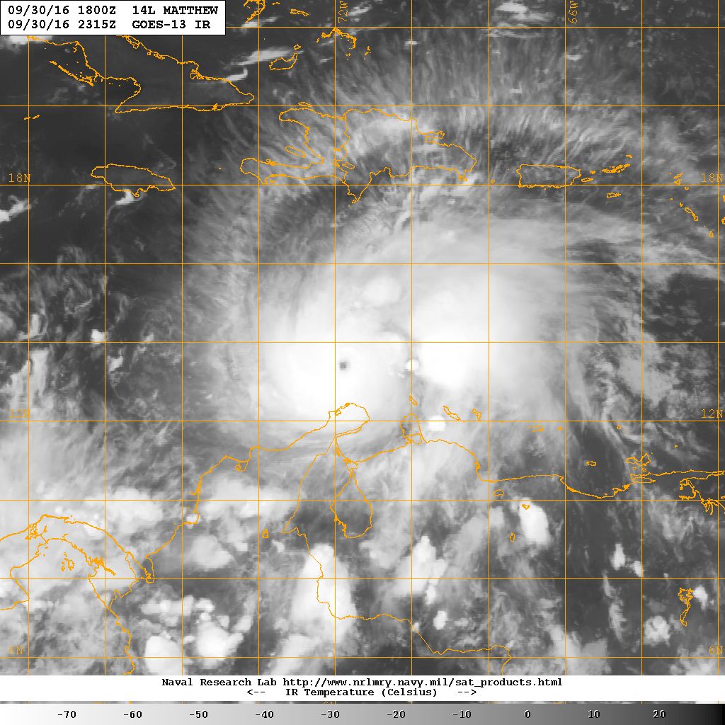
Hurrican Matthew arrives

On 30 September the US Navy (USN) released a GOES-13 satellite image from the Navy Research Laboratory Monterey Marine Meteorology division of Hurricane Matthew in the Caribbean Sea at 1935 Eastern Time (ET).
The storm has a well-defined eye and was located near latitude 13.5° North, longitude 72.0° West.
Data from a USAir Force Hurricane Hunter aircraft indicate that maximum sustained winds had increased to near 150 mph (240 km/h) with higher gusts.
USN reported on 2 October that Matthew is a Category 4 hurricane on the Saffir-Simpson Hurricane Wind Scale.
Some fluctuations in intensity were anticipated over the weekend 1-2 October, with Matthew was expected to remain a powerful hurricane through 2 October.
