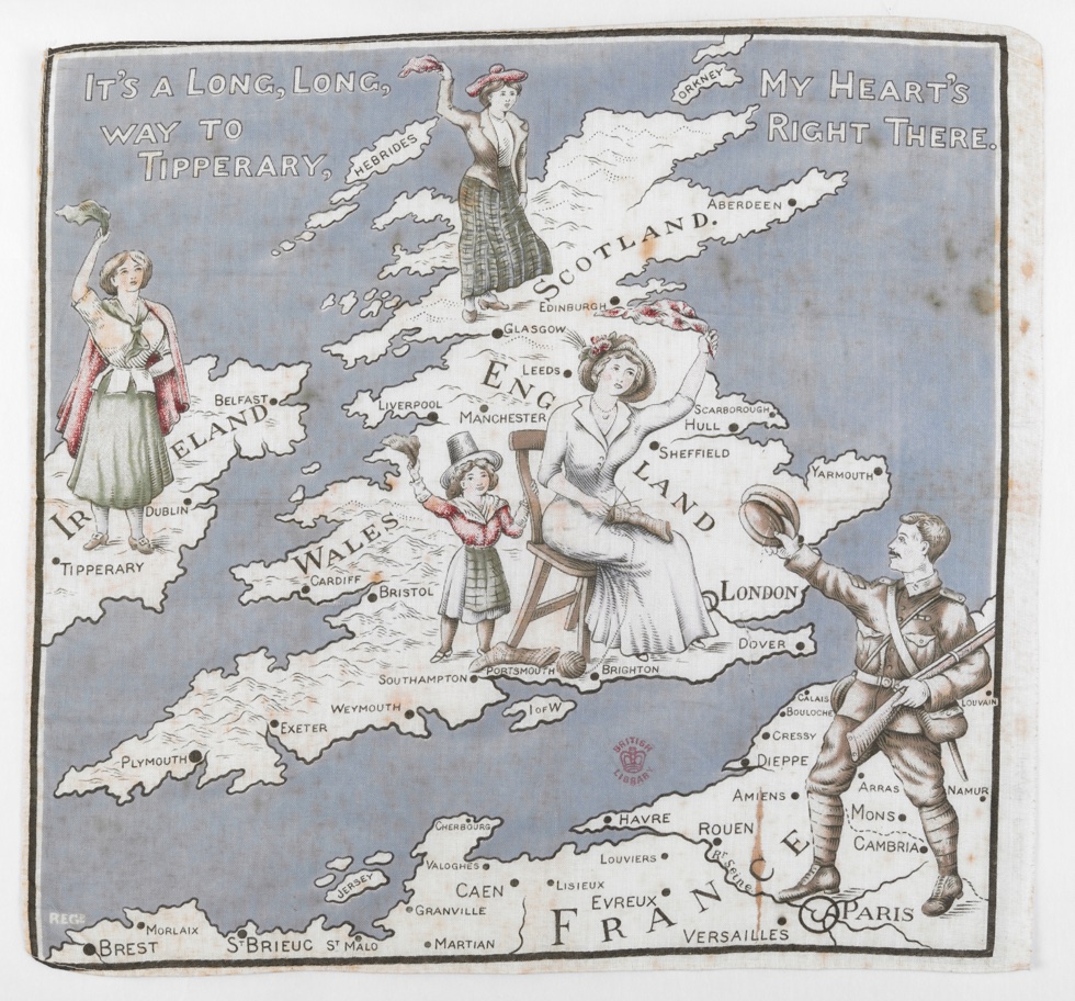
Maps and the 20th century: drawing the line

© British Library, photo by Clare Kendall.
A major new exhibition at the British Library, 4 November 2016 – 1 March 2017, looks at the history of the 20th century through its maps for the first time, shedding new light on familiar events, from global conflicts to the depths of the ocean floor – and even the mapping of outer space. It explores how 20th century maps shaped the ways we see the world we live in. Furthermore, it celebrates the rare beauty and astonishing variety of 20th century maps from the first sketch of the London Underground from 1931, to declassified Ministry of Defence maps, Ordnance Survey maps from the 1920s, a Russian moon globe and the first map of Winnie the Pooh’s Hundred Acre Wood.
From questions of war and peace, to understanding the movements of people, nature, and even the financial markets, Maps and the 20th Century: Drawing the Line explores how maps became increasingly present in 20th century lives.

The exhibition looks at the spectacular advances in the technology of mapping across the century, from the land surveys of 1900 to the development of satellite imagery by 2000. For the first time, we could see from the Atlantic Ocean floor to the far side of the Moon. Telling the history of the 20th century in maps allows us to reconsider the recent past from different perspectives.
